Typical AVR types
Level 0
At Level 0, the representation typically involves basic sketches or diagrams that outline the proposed development.
These sketches may lack detail, providing only a conceptual understanding of the project's visual impact.
Level 0 AVR is often used in the early stages of project planning for basic assessments and feasibility studies.
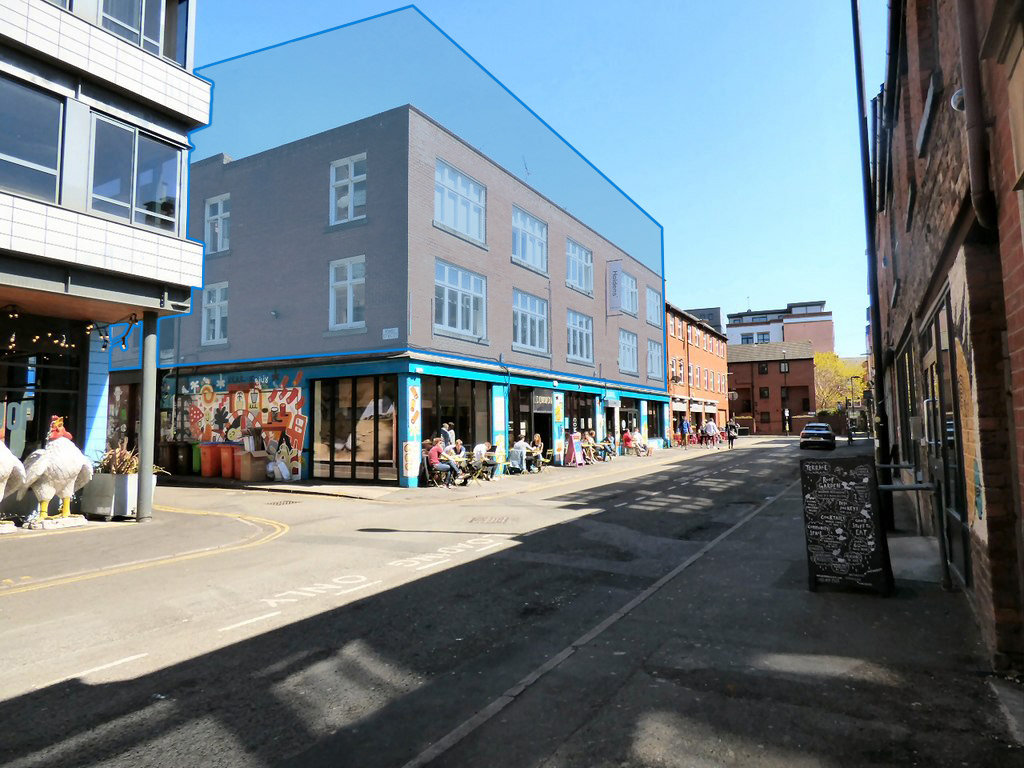
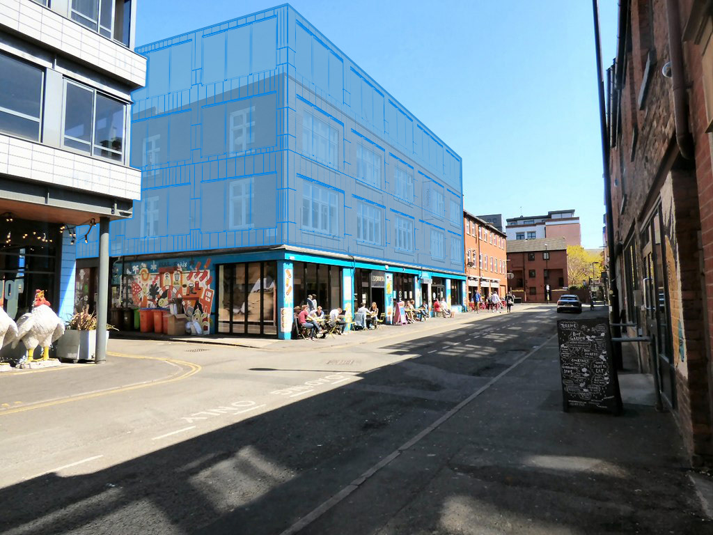
Level 1
Level 1 AVR involves more detailed representations, such as basic massing models or wireframe 3D models, overlaid onto existing site photography.
These representations give stakeholders a clearer idea of the proposed development's scale and location within the existing environment.
Level 1 AVR may also include basic contextual information like vegetation or neighboring buildings.
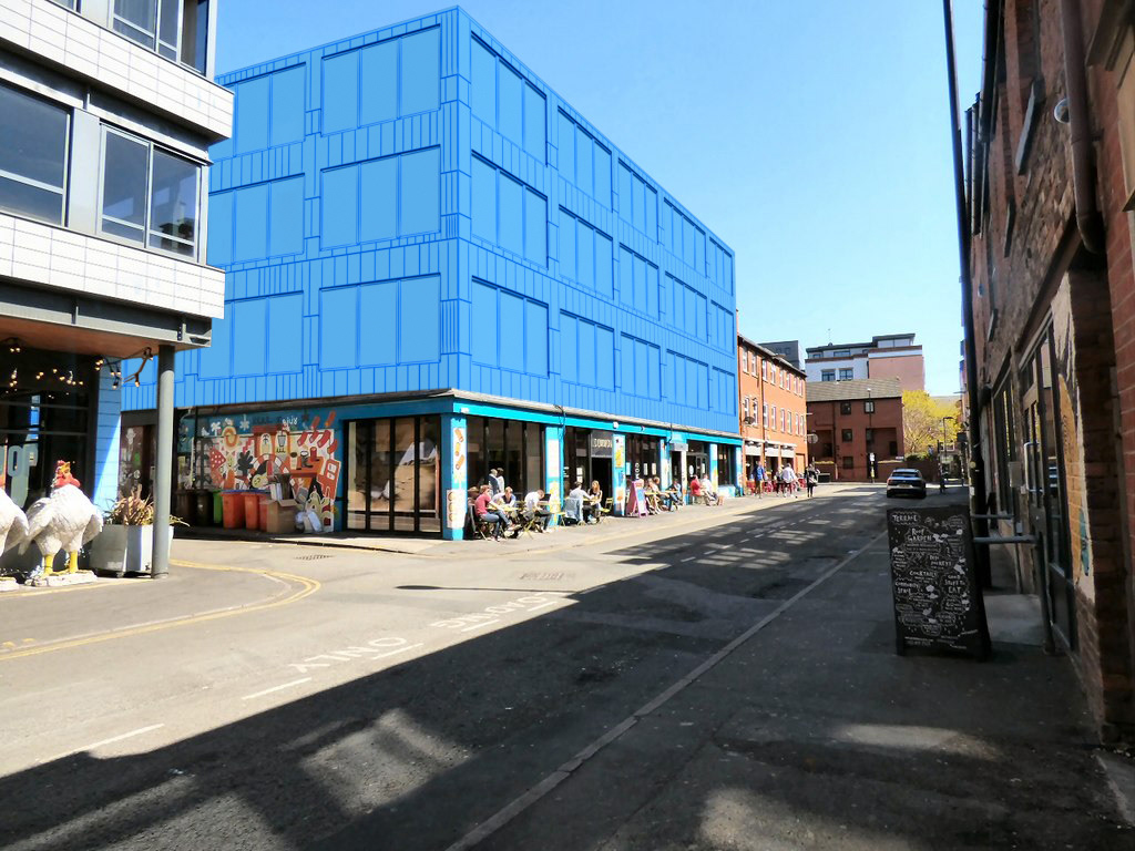
Level 2
At Level 2, AVR becomes more refined, with higher levels of detail and accuracy.
This level may include fully modeled 3D representations of the proposed development integrated with accurate site photography.
Level 2 AVR incorporates a single material and lighting to provide a more immersive and accurate depiction of the project.
These representations are useful for more advanced visual assessments and stakeholder communication.
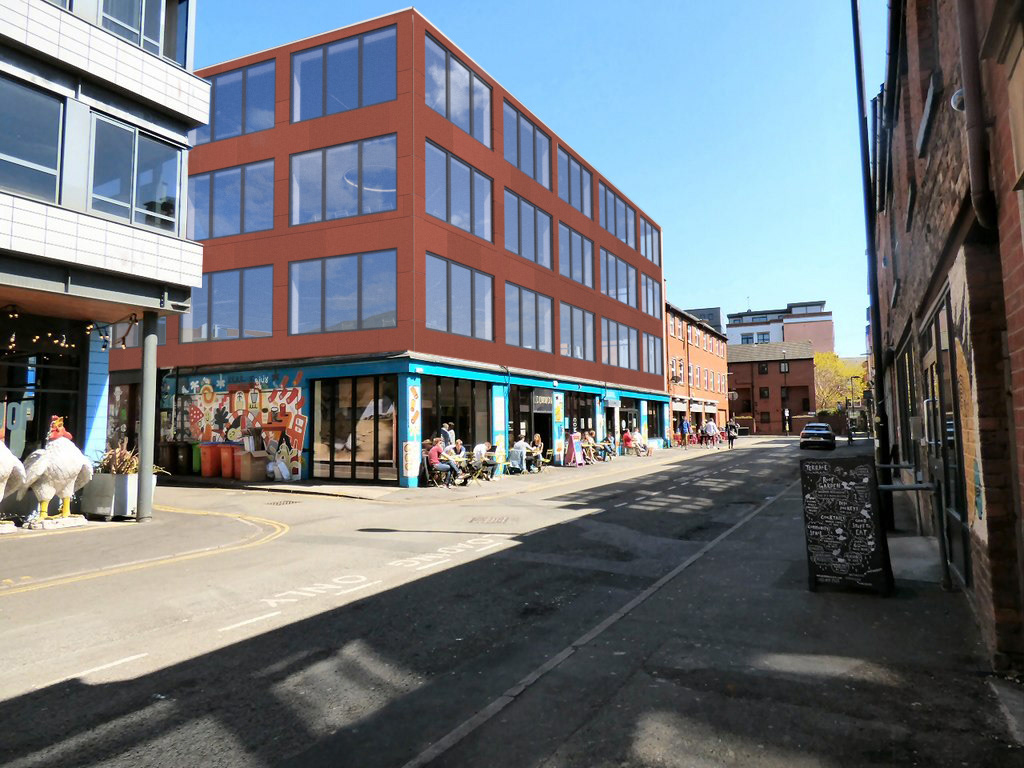
Level3
Level 3 AVR represents the highest level of accuracy and detail in visual representations.
This level typically involves advanced techniques such as photo-realistic rendering, accurate camera matching, and sophisticated lighting simulations.
Level 3 AVR provides an almost lifelike representation of the proposed development, including realistic shadows, reflections, and environmental effects.
These representations are often used for detailed visual impact assessments, marketing materials, and presentations to regulatory authorities or investors.
Methodology Report
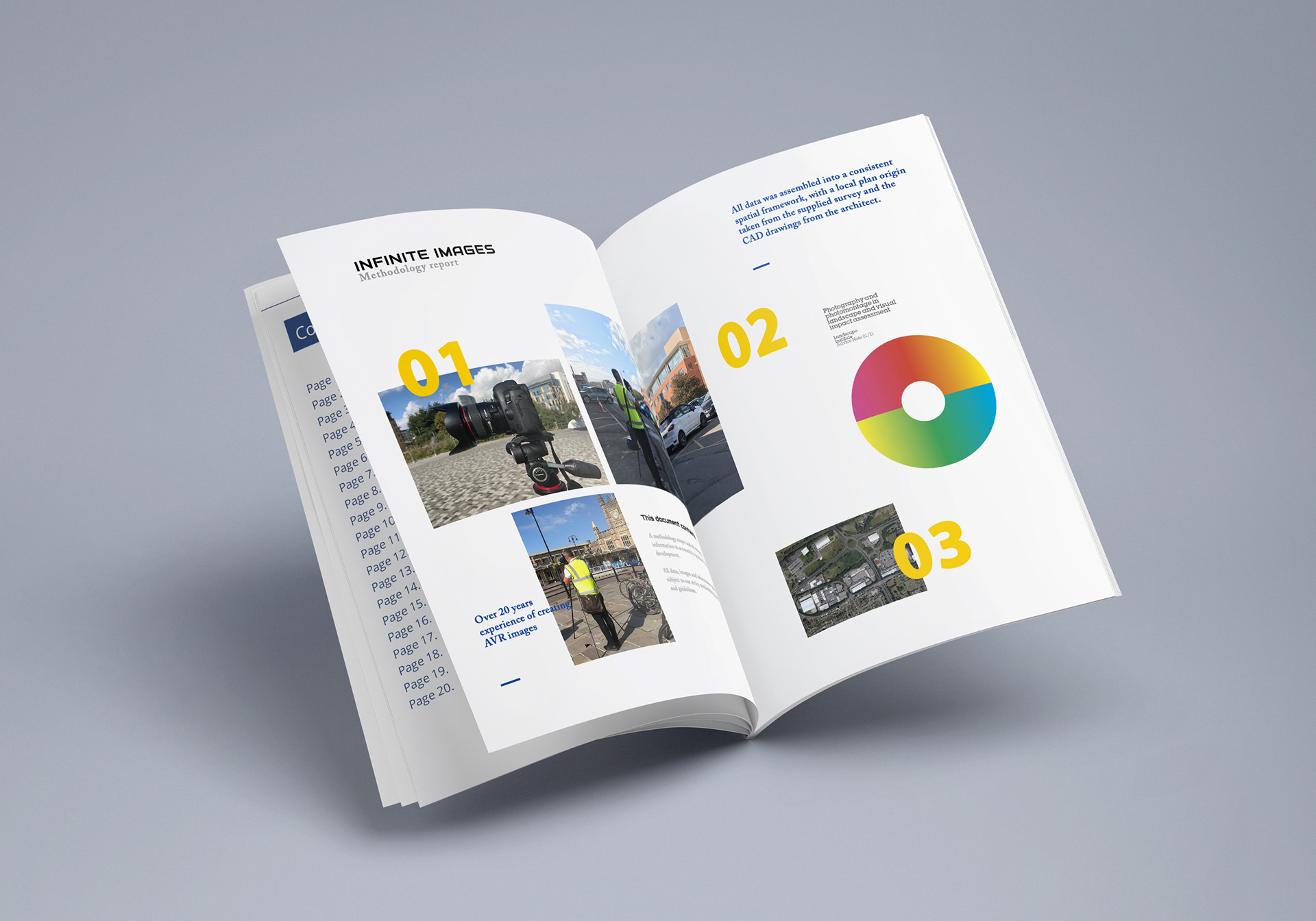
The methodology report outlines the systematic approach and techniques used in generating verified views for proposed developments. It provides a detailed account of the procedures followed to ensure the accuracy and reliability of the visual representations. Typically, a methodology report includes:
Overview of Methods: A description of the overall methodology employed, including any industry standards or best practices adhered to.
Data Collection: Details on how data, such as site photographs, site surveys, and architectural plans, were gathered and utilized in the creation of the verified views.
Modeling and Rendering: Information on the software tools and techniques used for 3D modeling, rendering, and integration of the proposed development into existing site photography.
Camera Matching: Explanation of the process used to accurately match the viewpoint and perspective of the virtual camera with that of the original photograph.
Material and Lighting Simulation: Description of how materials, textures, lighting conditions, and environmental factors were simulated to achieve realism in the verified views.
Quality Assurance: Procedures employed to verify the accuracy of the visual representations, including checks for scale, perspective, and alignment with site conditions.
Verification Process: Explanation of how the verified views were validated against on-site observations or other reference materials to ensure fidelity to the proposed development.
Documentation: Details on how the methodology report itself is documented and structured, including references to relevant standards or guidelines.
The methodology report serves as a comprehensive guide for stakeholders, providing transparency and accountability in the creation of verified views. It ensures that the process followed is robust, reproducible, and in line with industry standards, ultimately enhancing confidence in the accuracy and reliability of the visual representations produced.
All of our AVR work is carried out in compliance with the Landscape Institute Technical Guidance Note (LITGN) - Visual Representation of Development Proposals
and the London View Management Framework